
Ongoing Construction Monitoring – Belfast Harbour D3
Construction Drone Photography is providing ongoing visual monitoring of Deep Water Berth D3 at Belfast Harbour, combining recurring drone progress photography, orthomosaic mapping and long-term timelapse monitoring. Together, these outputs provide both a project-wide visual record and practical information that can be used by the construction team as the works progress.
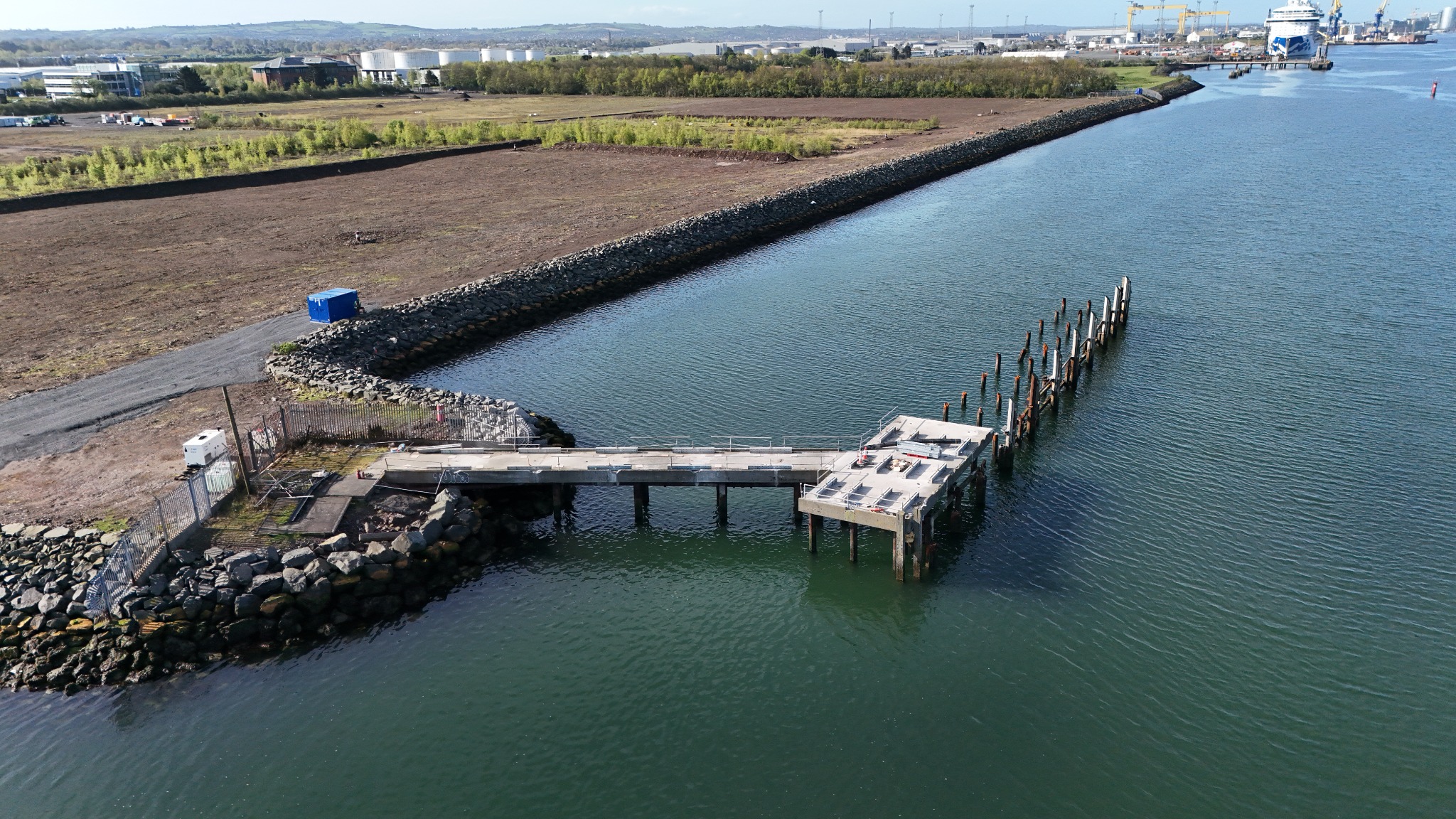
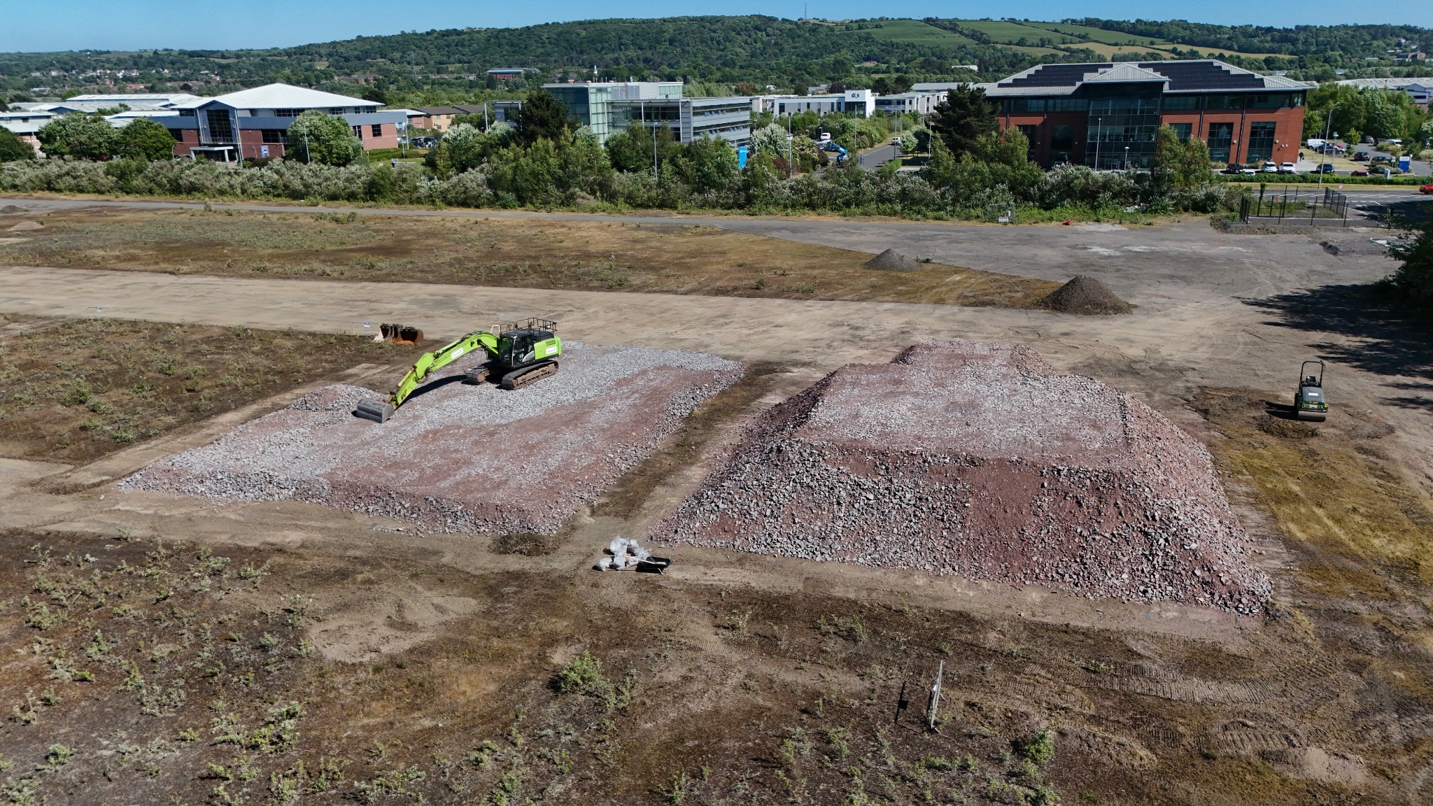
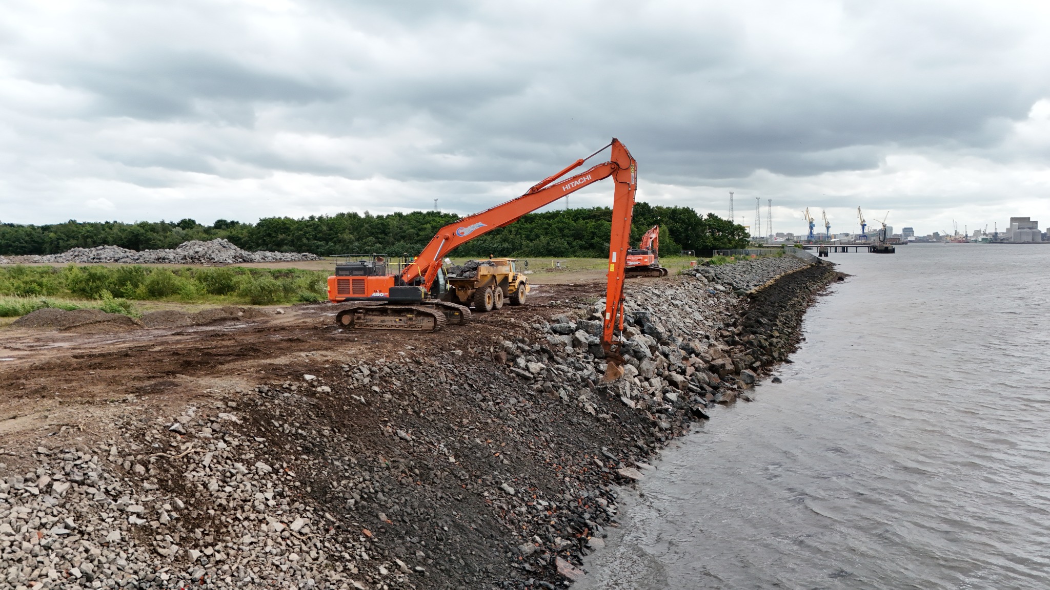
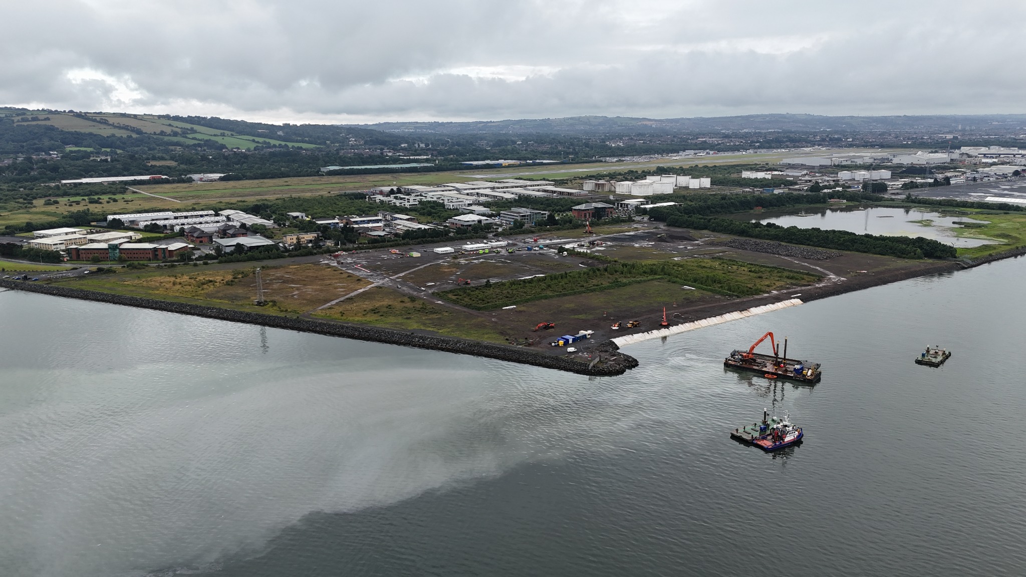
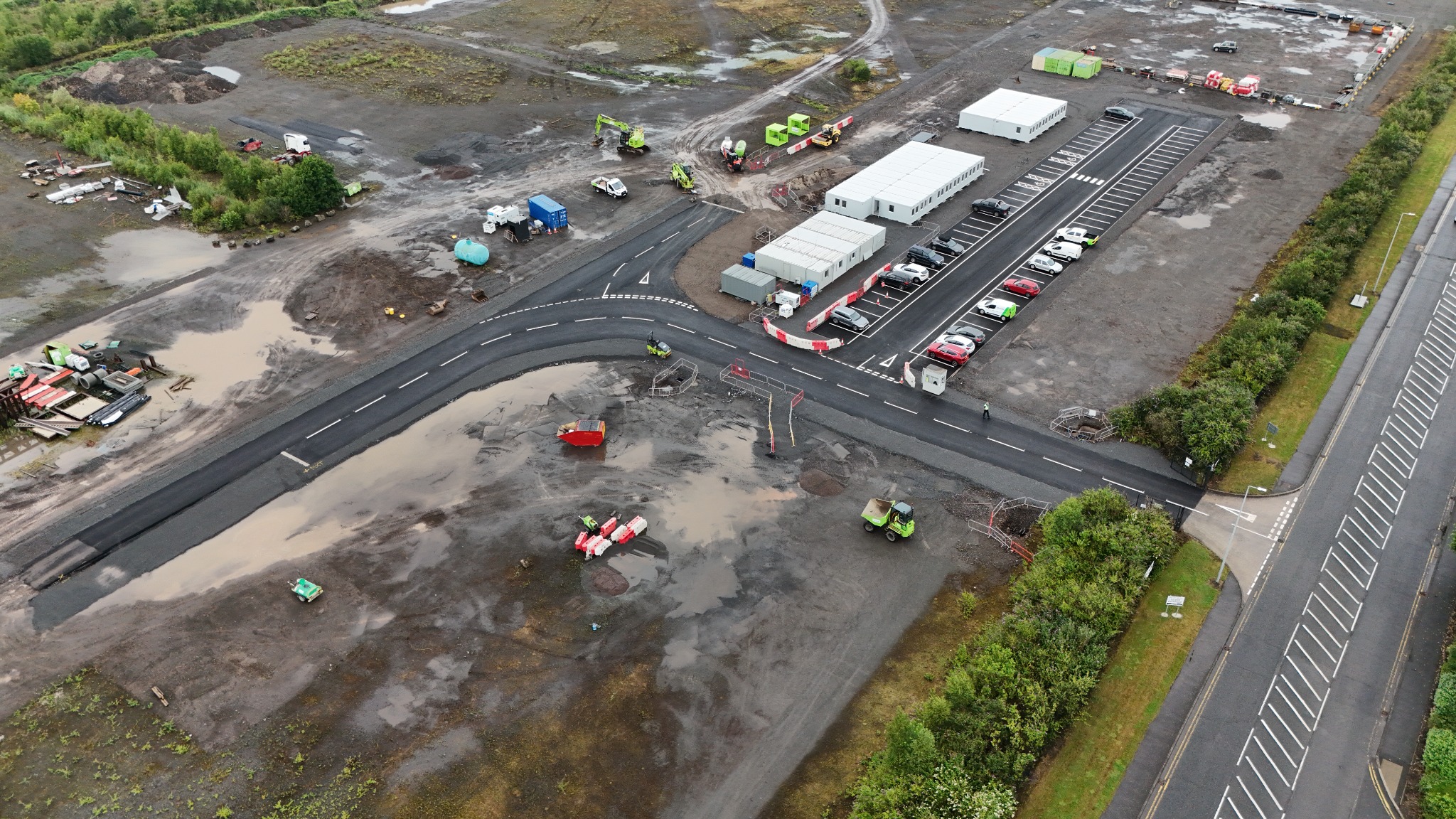
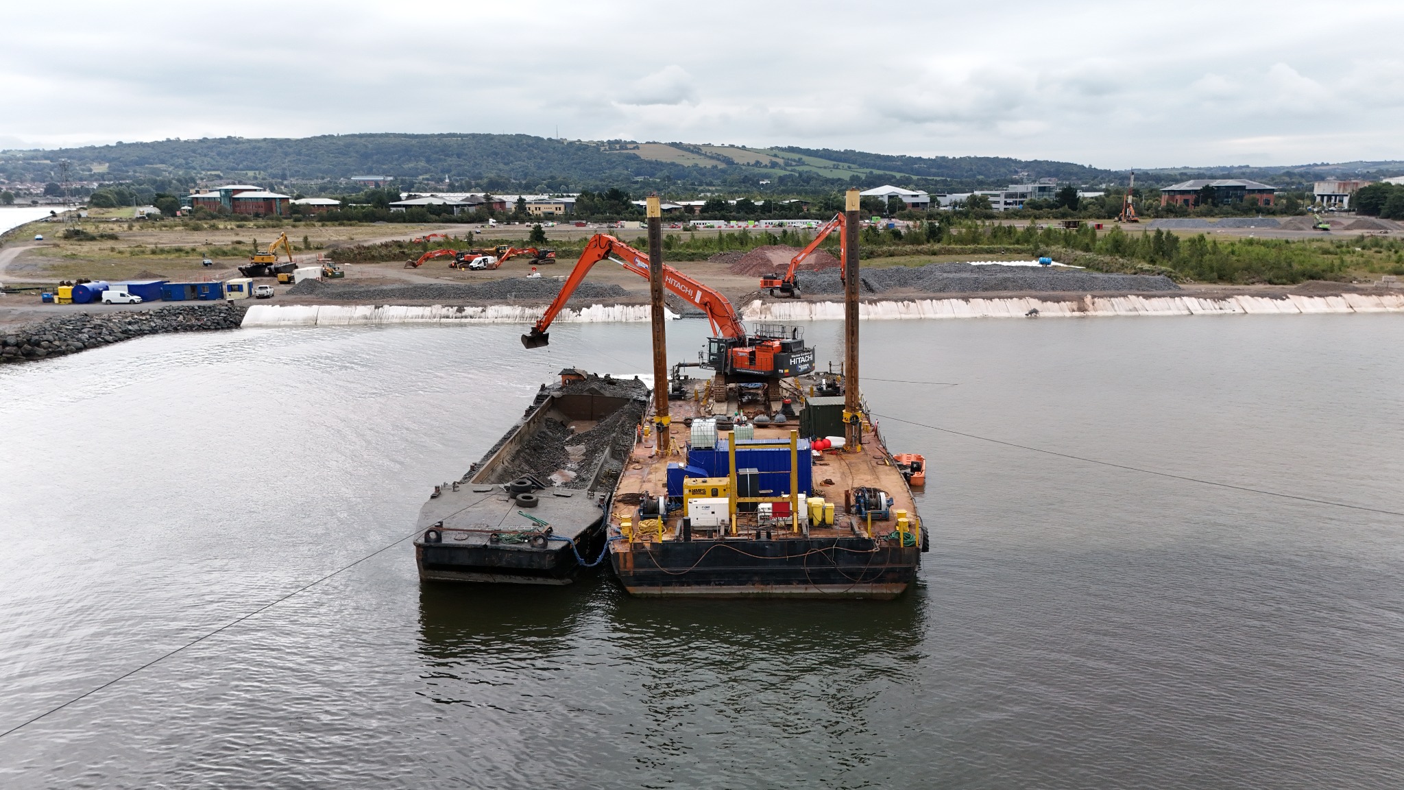
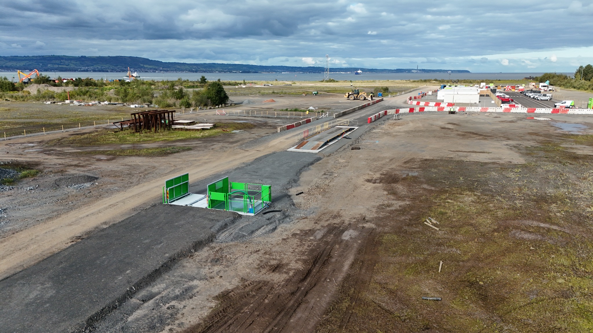
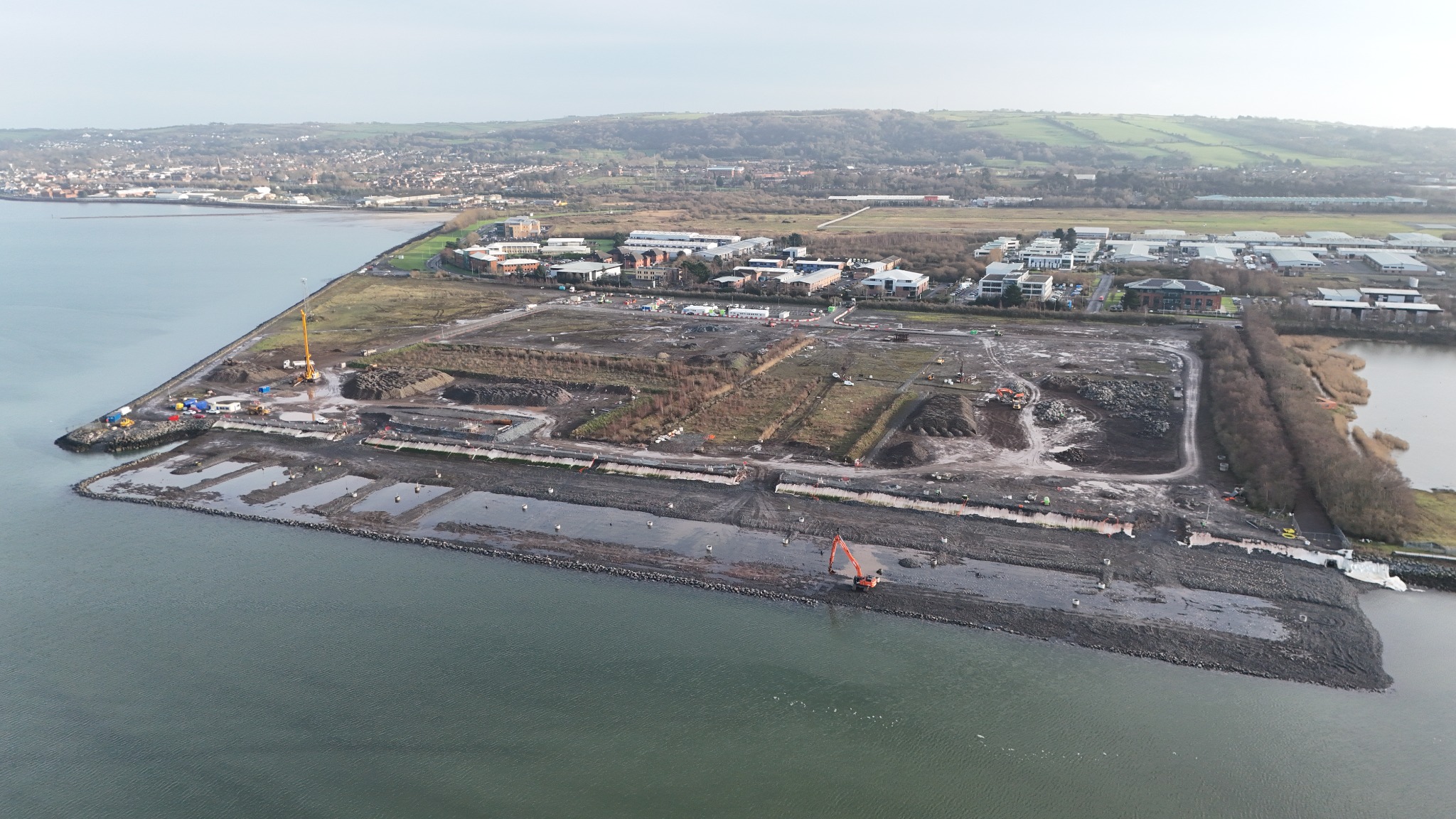
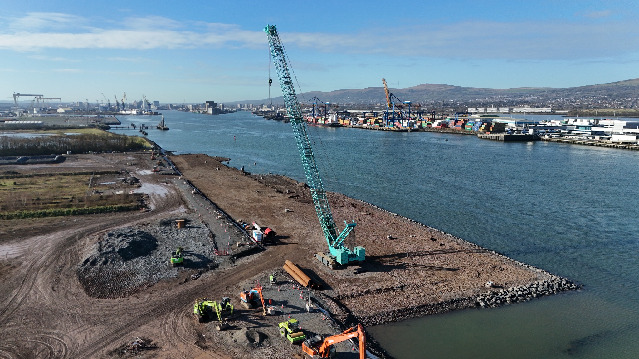
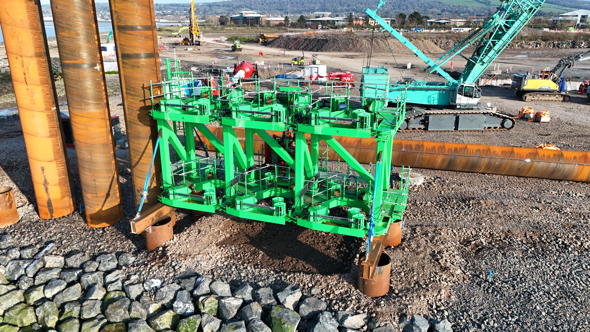
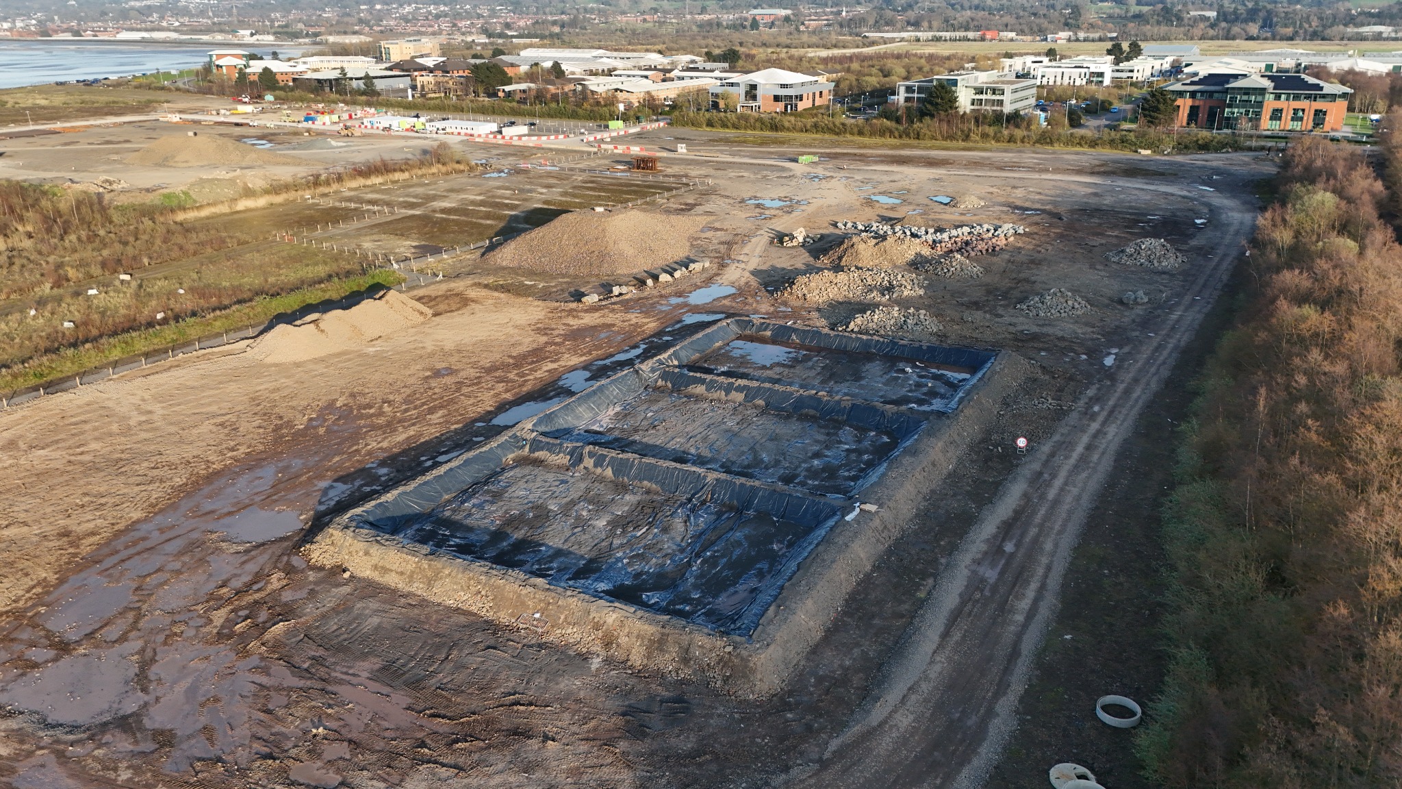
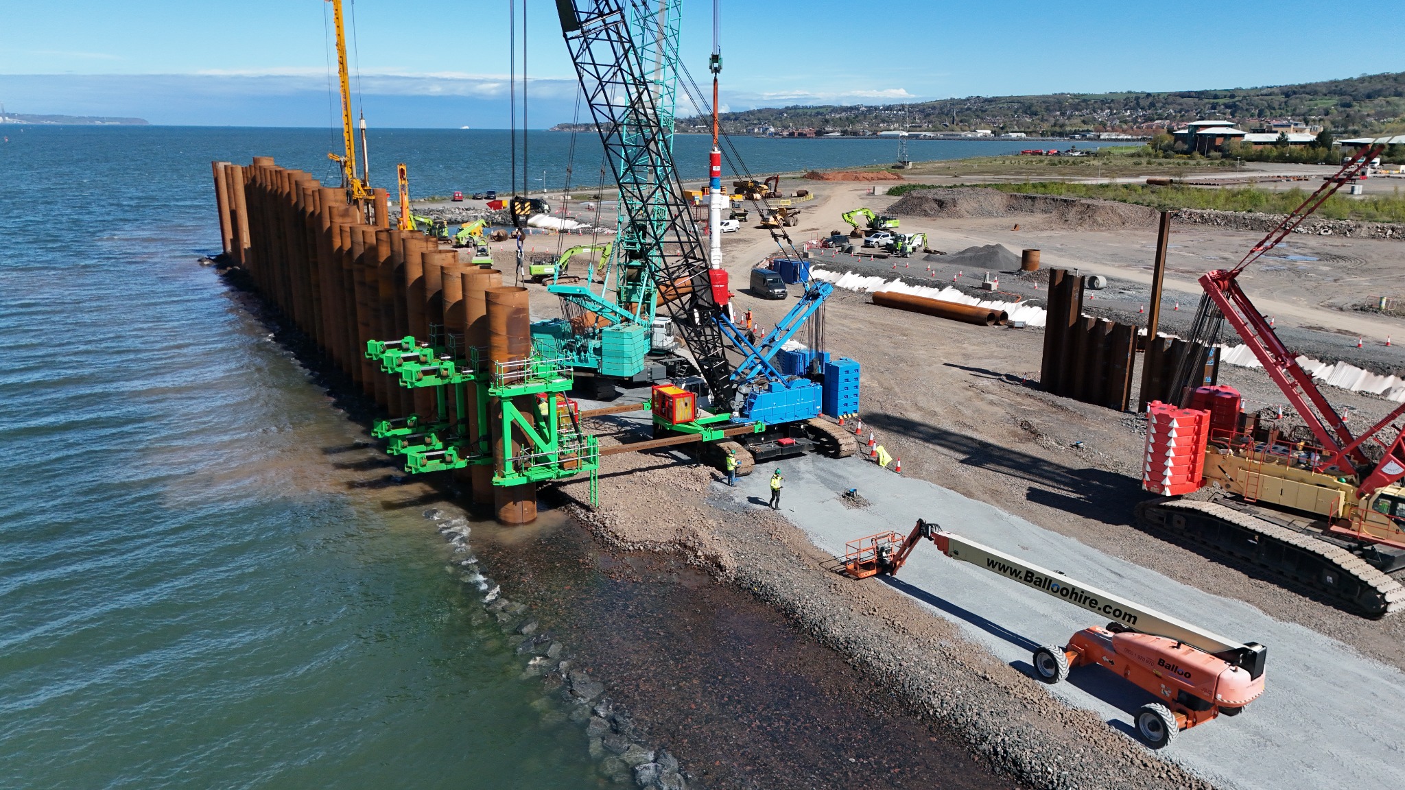
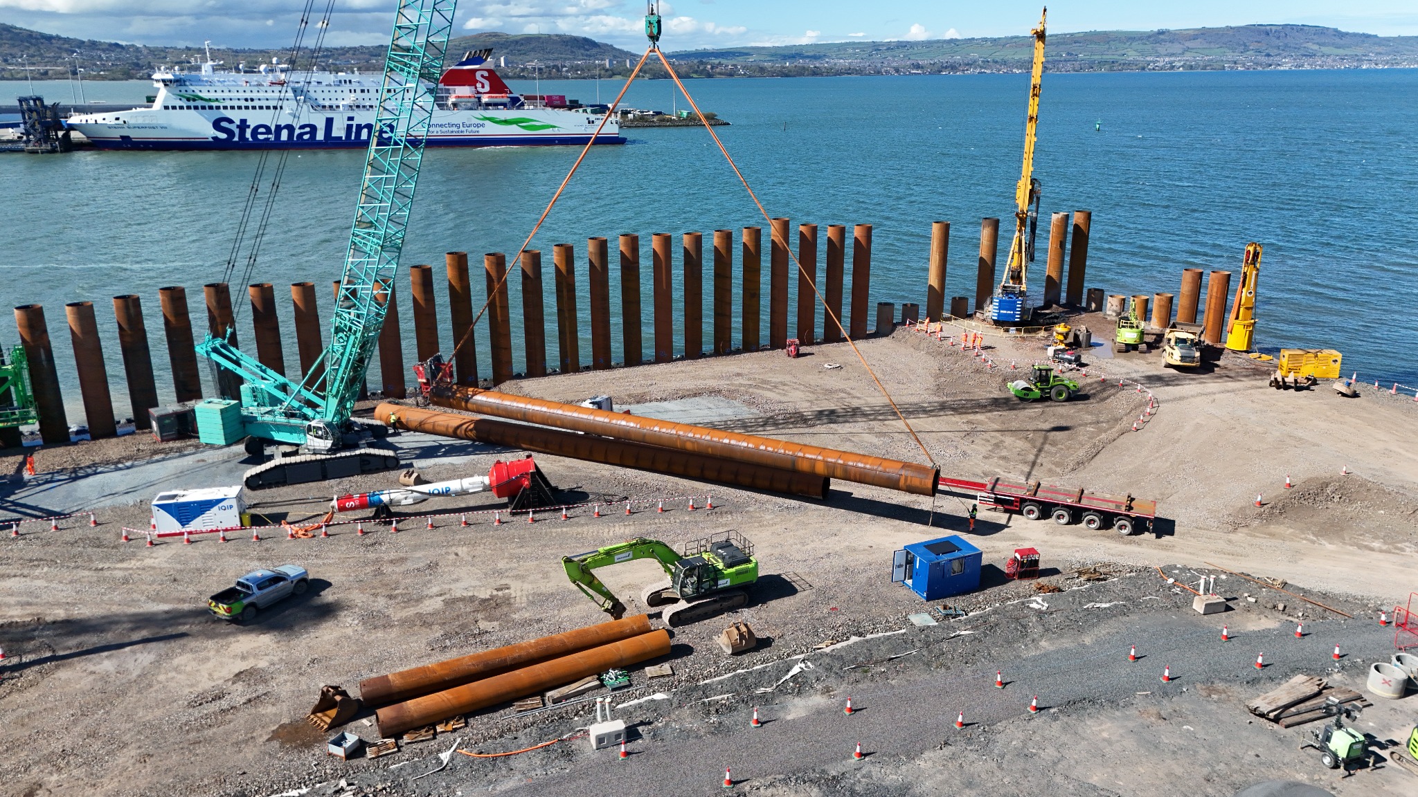
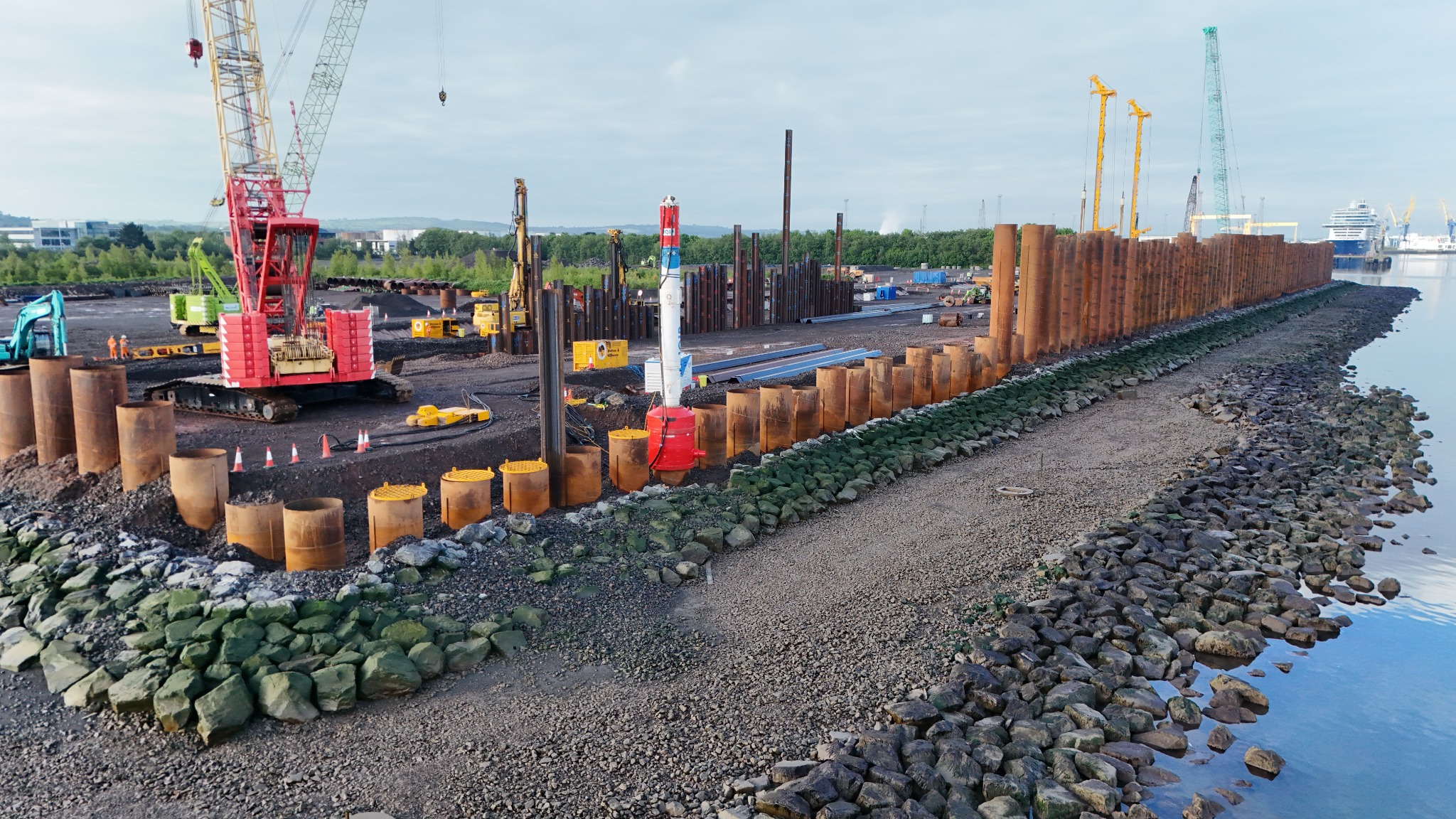
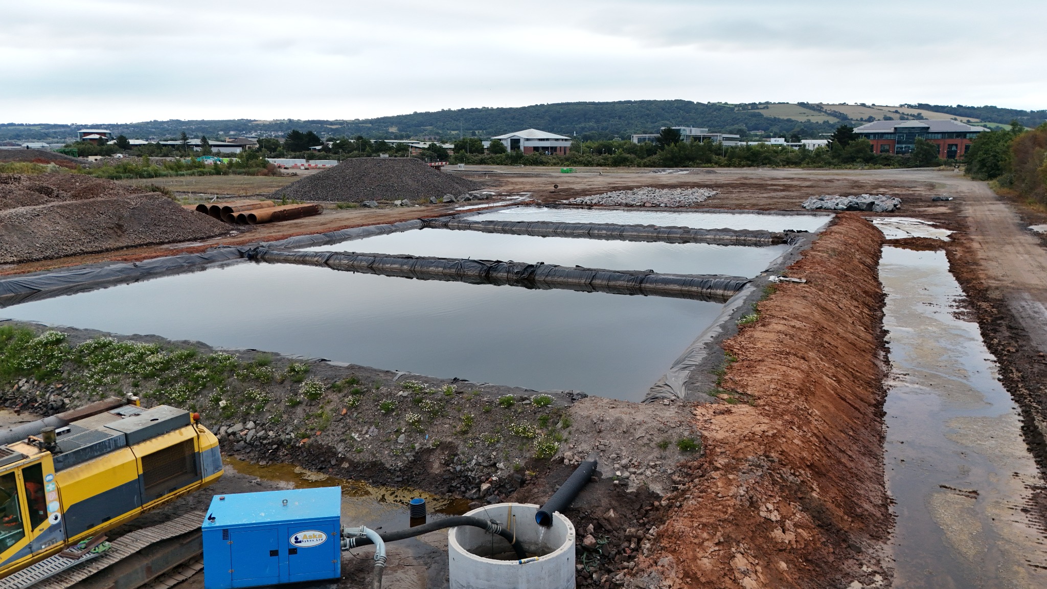
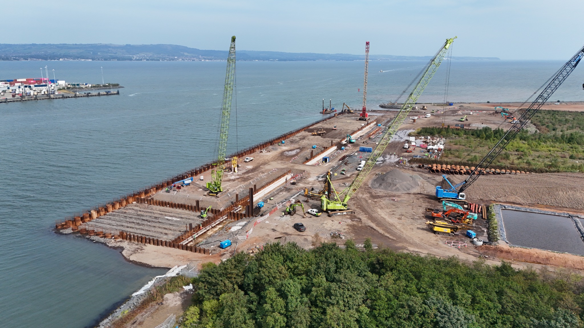
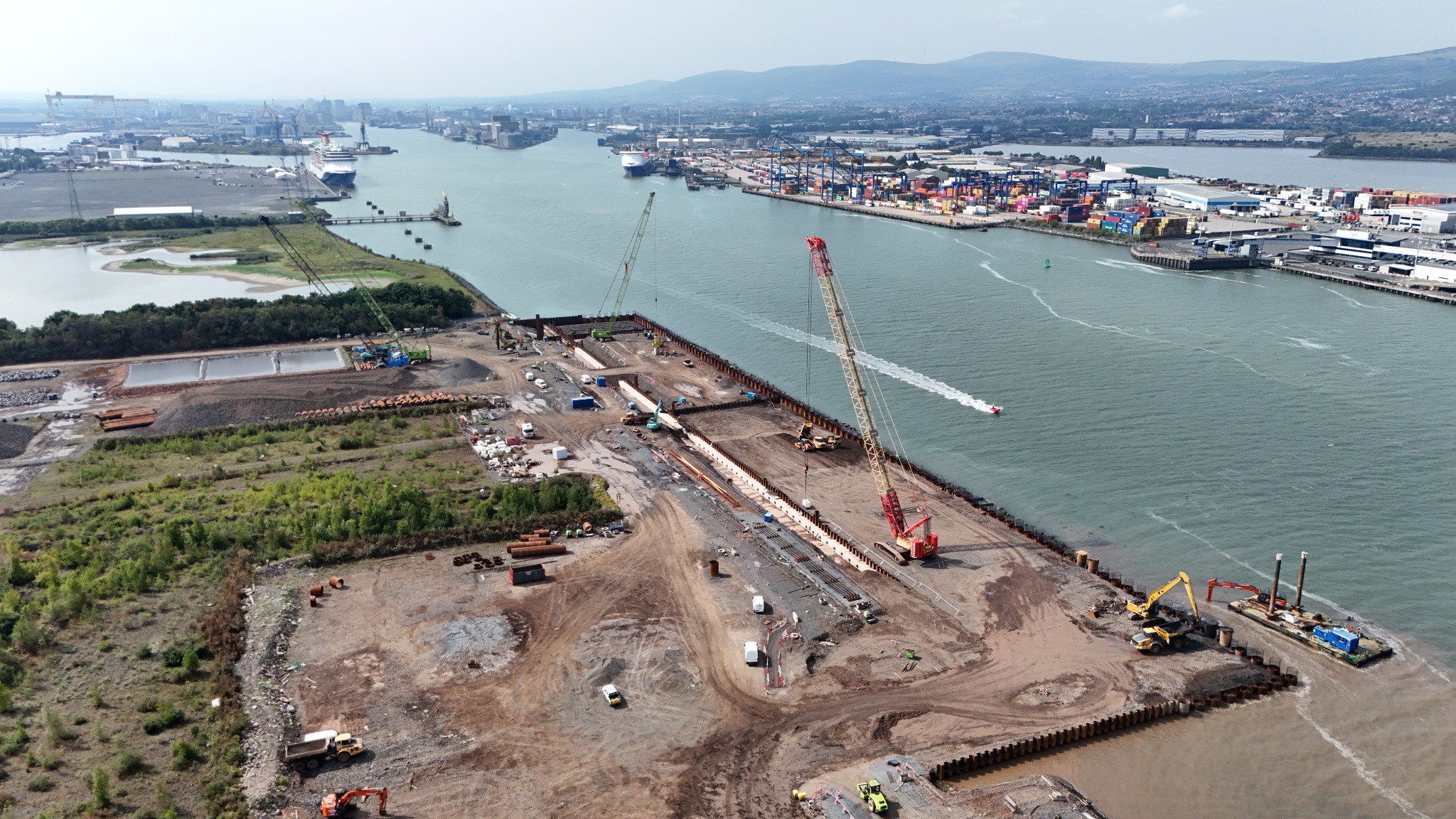
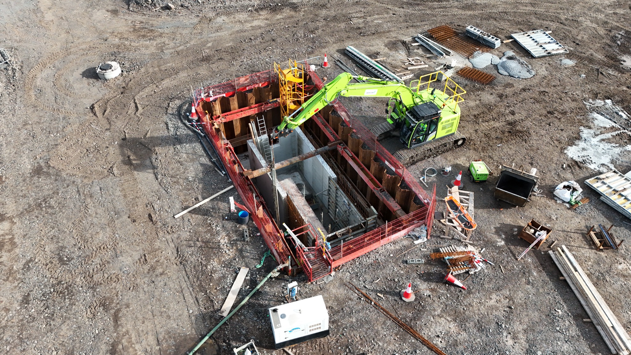
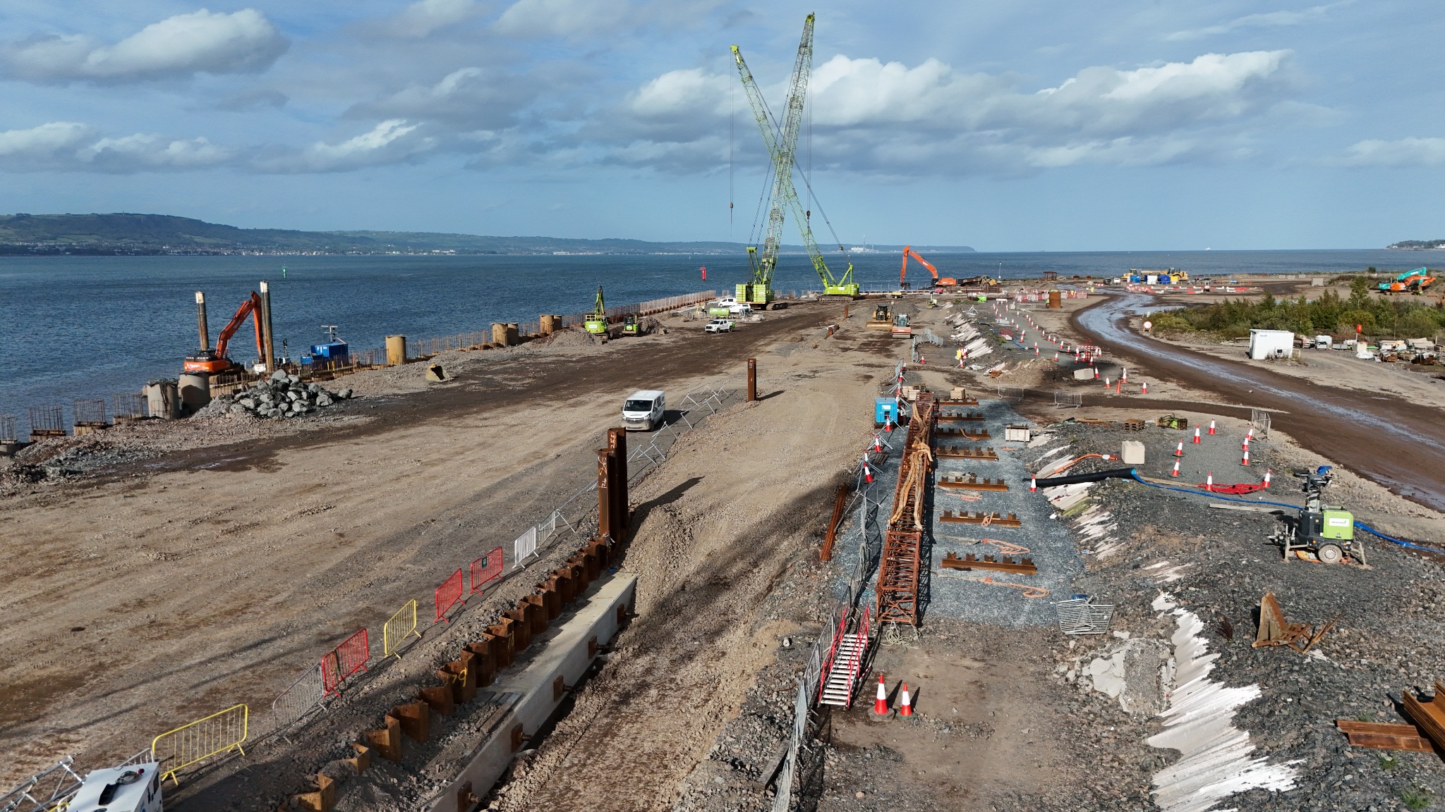
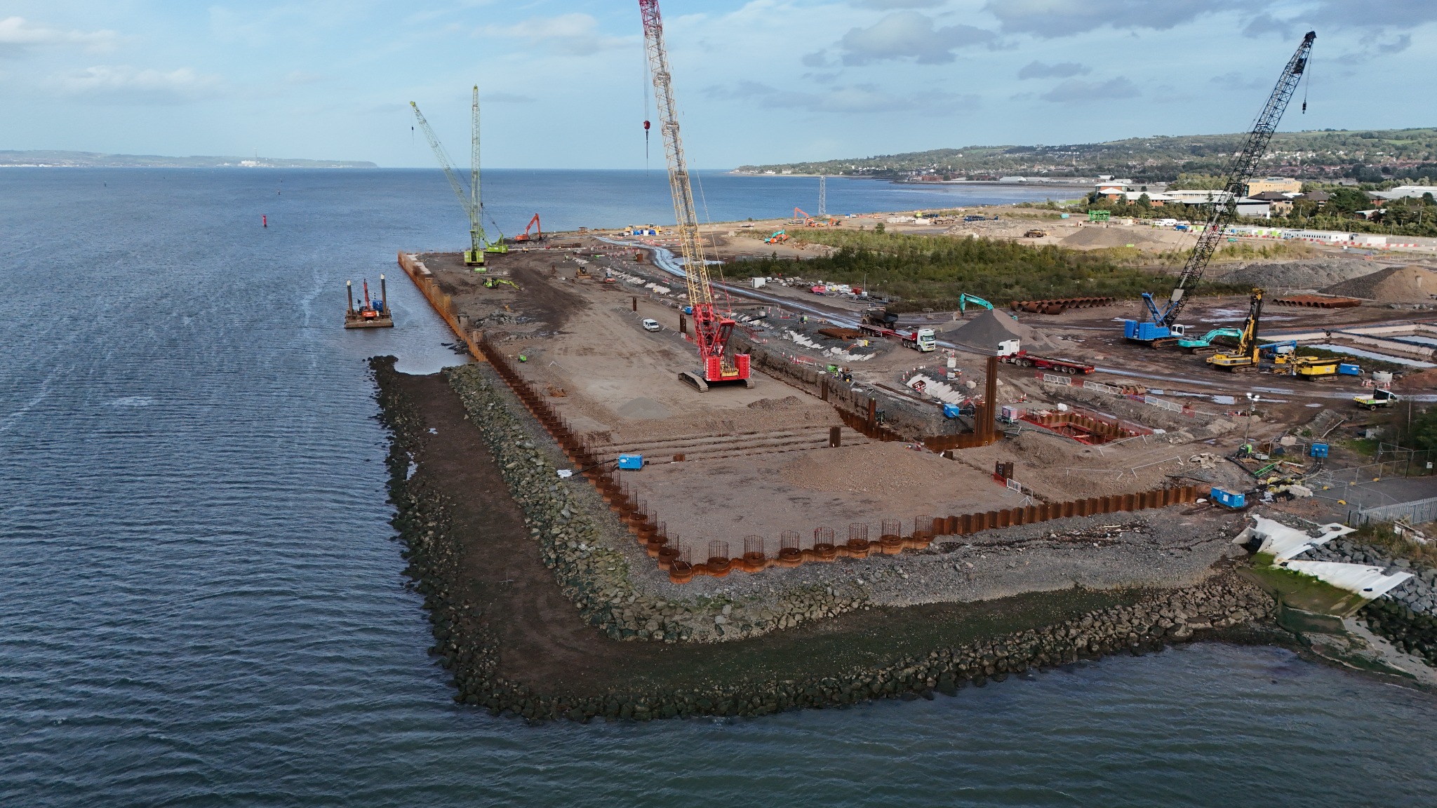
The photographs on this page span April 2025 to September 2026 and show the project developing from early enabling and reclamation works through piling, quay construction and wider terminal infrastructure. As D3 remains a live project, the visual record continues to develop alongside the construction programme.
Services provided: Drone Progress Photography · Orthomosaic Mapping · Long-Term Timelapse · Construction Monitoring
About the D3 Project
Belfast Harbour is developing D3 as a £90 million dual-purpose deepwater quay. The facility is intended to accommodate large cruise vessels and expand the port's capacity for offshore wind turbine assembly and installation. Stage one is being delivered for cruise operations from 2028, with further infrastructure planned to support offshore wind.
For a project of this scale, aerial imagery provides a useful perspective on the relationship between marine works, piling operations, earthworks, temporary works, site infrastructure and the wider harbour environment.
Construction Monitoring Approach
Recurring drone visits capture both consistent wide views and closer construction details, documenting overall site development as well as key operations and individual work areas. The aerial imagery supports progress reporting, stakeholder communication, presentations, project records and future marketing material.
High-resolution orthomosaic mapping has also been provided to create detailed overhead records of the site as construction progresses. These mapped outputs provide a clear, current view of site layout and changing work areas across the project.
Long-term timelapse has been used for more than project visualisation. Timestamped timelapse footage of the tube pile installation created a continuous time-based record of the operation, allowing installation activity and productivity to be reviewed against time. This demonstrates how construction timelapse can provide practical information to the site team as well as a permanent visual record of the works.
Project Imagery
Need Construction Monitoring for Your Project?
Drone progress photography, orthomosaic mapping and long-term timelapse can be tailored to your construction programme, reporting cycle and required outputs.
Request a Quote